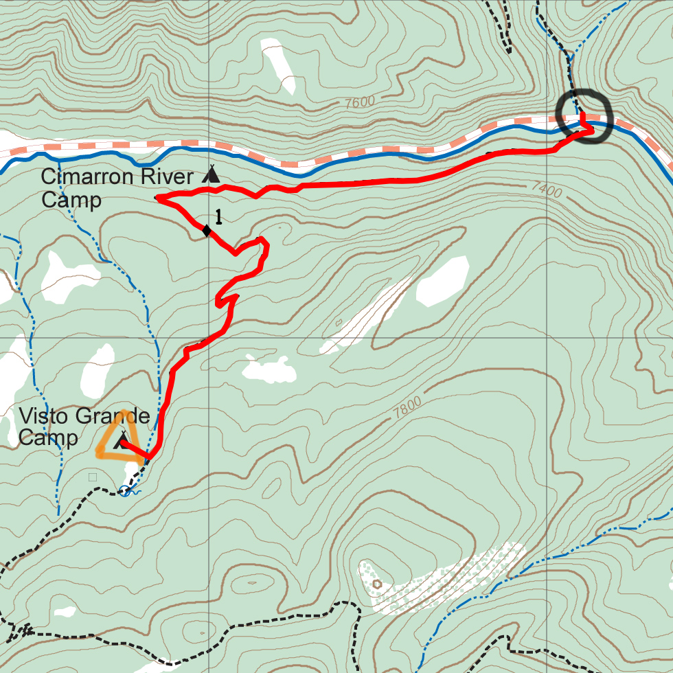

| Distance | 1.76 mi |
| Elevation Gain | 620 ft |
| Elevation Loss | 105 ft |
| Hiking Time | 1:08 |
| Starting Elevation | 7,198 ft |
| Ending Elevation | 7,713 ft |
| Min Elevation | 7,198 ft |
| Max Elevation | 7,713 ft |
Pass through the tunnel under US 64 and walk and easy mile along a pleasant path paralleling the highway and river. Then turn south and climb a few hundred feet to a good camp.
This is a ranger training route, so your ranger will be teaching you about navigation, safety, and hiking at Philmont on the way.
You cross the river immediately at Bear Canyon turnaround. For the next mile, you parellel the river, but it's not particularly accessible. Visto Grande has spring-fed water that must be treated before use.
Itinerary 2 - day 2
Bear Canyon TA: trailhead.
Visto Grande: ranger training camp