
| Distance | 7.5 mi |
| Elevation Gain | 1,874 ft |
| Elevation Loss | 2,704 ft |
| Hiking Time | 4:14 |
| Starting Elevation | 7,549 ft |
| Ending Elevation | 6,719 ft |
| Min Elevation | 6,706 ft |
| Max Elevation | 8,825 ft |
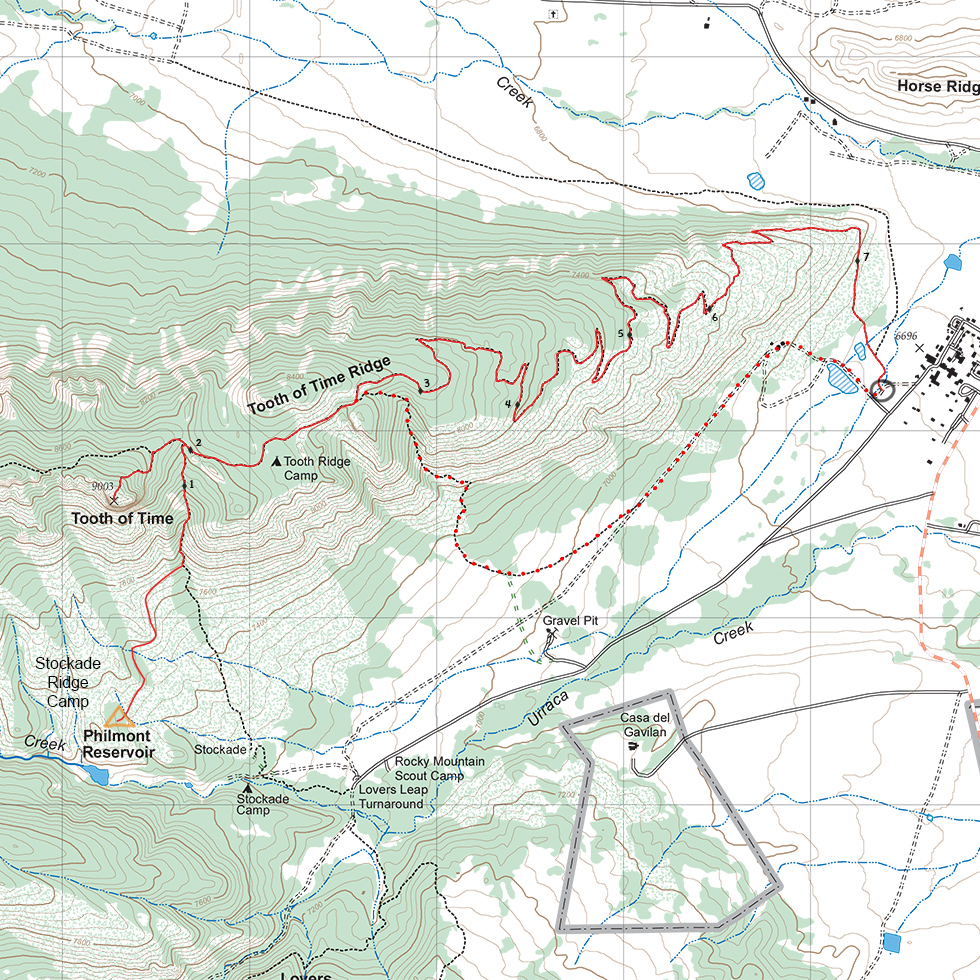
Climb, at first gently, but then more steeply, from Stockade Ridge camp about 1,500 feet in 1-1/2 miles to the top of Tooth of Time. There are bear cables at the foot of the Tooth, so you can make the last scramble with just your breakfast and water.
After enjoying the views from the Tooth, make retrace your steps for 1/2 mile, then head east for the long, 5-1/2 mile, winding descent to Camping Headquarters and a return to civilization.
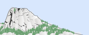
Climb the iconic Tooth of Time — a great place for a breakfast and pictures.
Potable water is available at Stockade Ridge and Camping Headquarters, but is not generally available on the route.
About 1/2 mile past Tooth Ridge Camp, a side trail cuts sharply down the canyon. After a few steep drops, it curves to the northeast and come into Camping Headquarters from a road walk. In addition to the steep section near the top, the trail is unsheltered from the sun for the last few miles and you miss the views from Tooth Ridge.
Itinerary 1 - day 12
Itinerary 12 - day 12
Stockade Ridge: Trail camp.